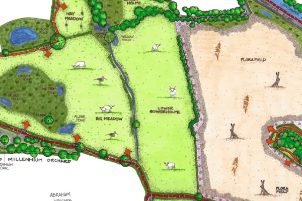
Lower Sowerholme
Lower Sowerholme is 2.8ha/7acre field on the left of the path as one walks towards Flora Field and Pony Wood having crossed Lucy Brook.
History
- This area was originally part of Aldcliffe Hall estate and grazed by a tenant farmer. Earlier maps show a bridge over the brook, where it is now culverted; cattle would have been driven over here from what is now Abraham Heights.
Since 2011
- When the Fairfield Association was negotiating to buy the land to the south of the brook, the field belonged to a developer, who intended to extend the housing. Acquisition of this field was crucial to extending the area of the nature reserve.
Current Features
- Lucy Brook runs along the border with Big Meadow. Part way along is a cattle crossing, so the cattle can move freely between the two. The brook runs through a narrow steep-sided channel which, as it approaches the footpath goes into a culvert, emerging where the footpath crosses.
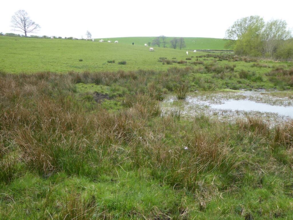
- At the top of the field is Willow Pond and a wet, rushy area bordering Lucy Brook where we can find snipe. With the trees behind this is a rich area for birds.
Maintenance
- In the summer the thistles are scythed.
- White Park cattle keep the grass low.
Future
- We would like to put the bends back in the brook, allowing it to follow it’s natural course. This would make the brook a better habitat for wildlife and an attractive
Look out for
White Park cattle grazing near the gate by the Lucy Brook crossing. Fox, roe deer and hare especially by the far hedge or the top of the field.
Photographic Survey
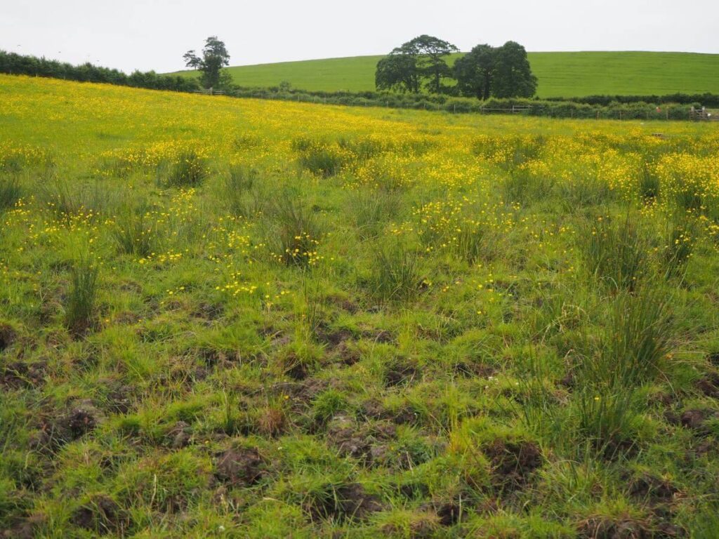
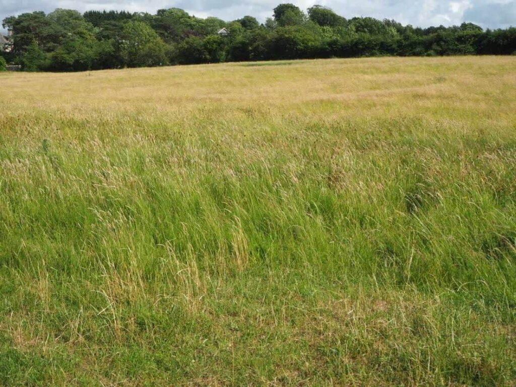
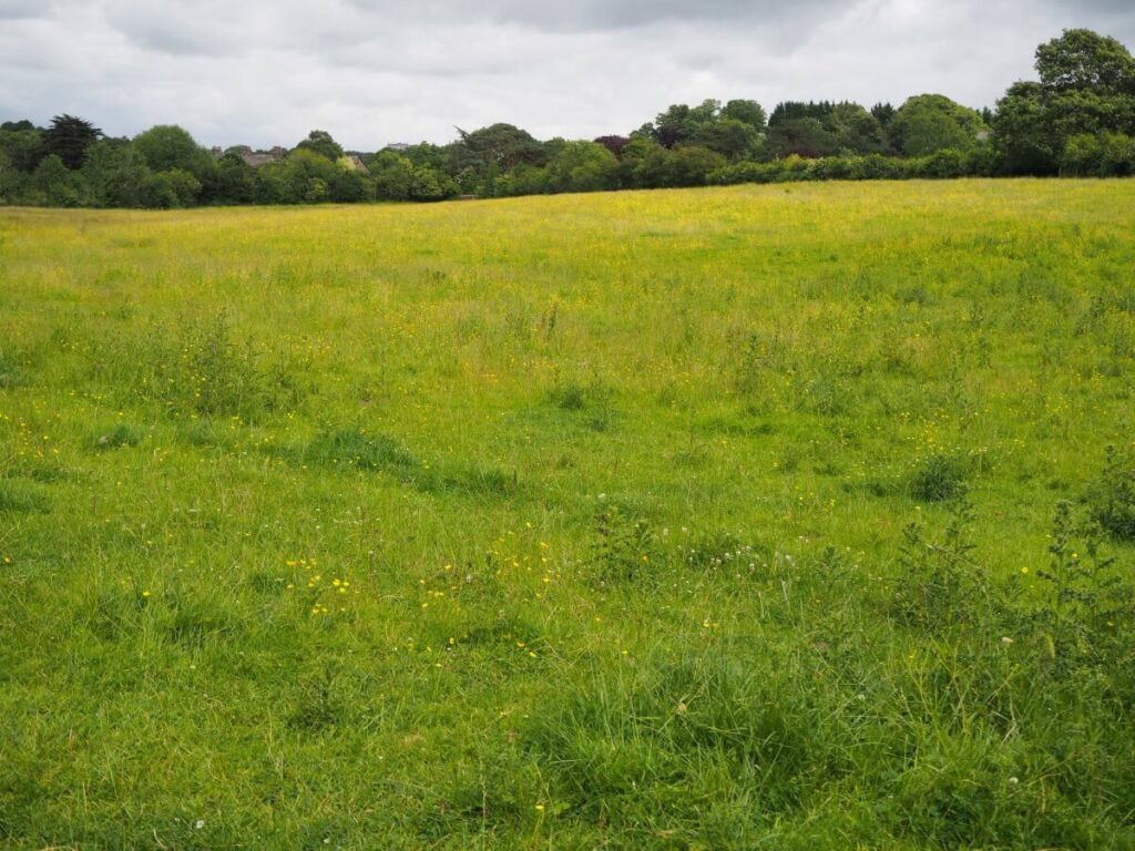
The Fairfield Association have maintained a photographic survey of the reserve since 2015. Photographs have been taken on roughly 5 occasions each year: March, mid-May, late June, early August and late September.
Each album is arranged in date order. To find out the specific date particular photos were taken, first select the photo and then select the ‘i’ icon in the top-right of screen. (All albums launch in a new window.)
